A flood defence trial embankment for ASEA has made significant savings on cost and carbon, new research has revealed.
The trial embankment at Aust in South Gloucestershire was part of initial ground investigation work for the project. The research, by Gareth Mason, Geotechnical Project Lead, at contractor BMMJV, was presented to the International Symposium on Field Monitoring in Geotechnics in London in September 2022.
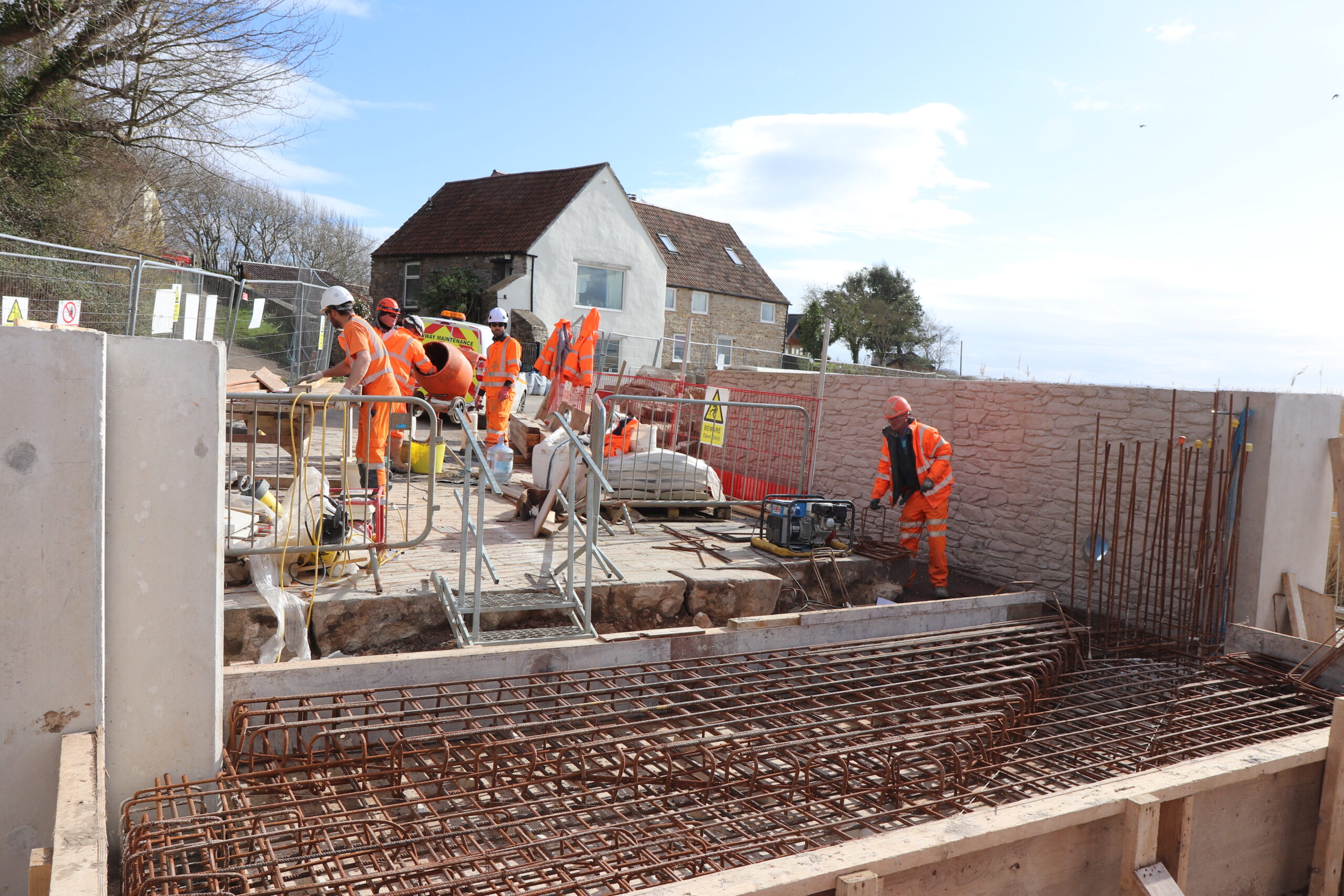
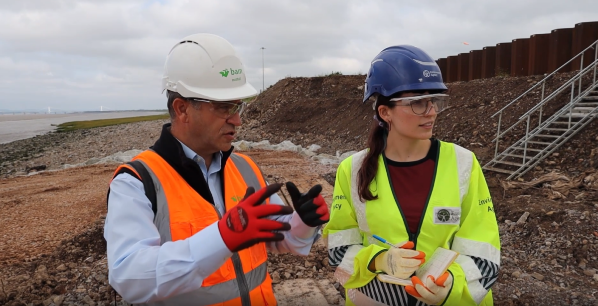
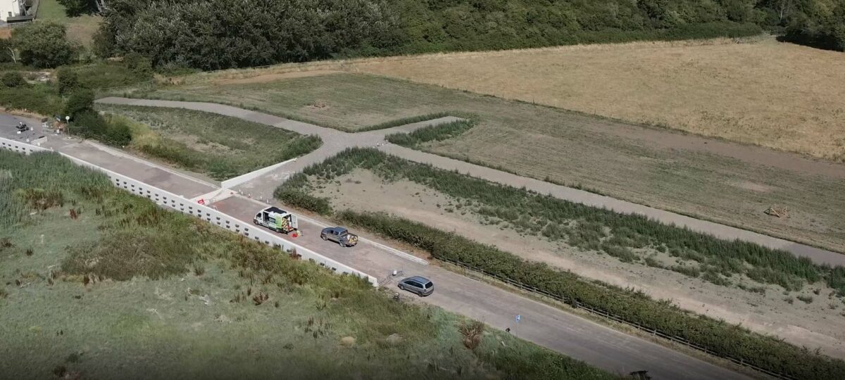
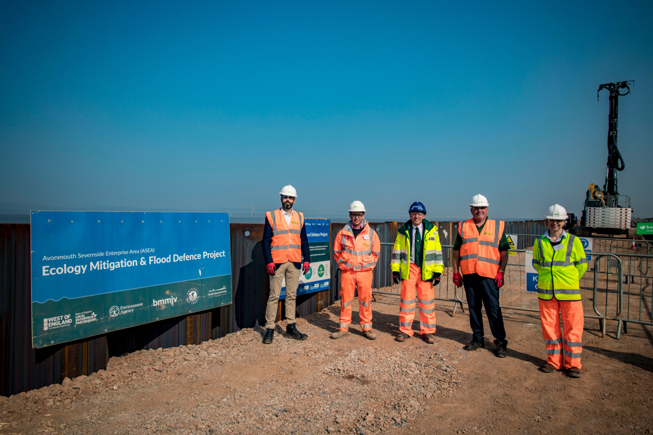
Stretching along the coast of the Severn Estuary and the River Avon, the ASEA project will provide 17km of flood defences to reduce flood risk to 2,500 homes and businesses over its lifetime and help to unlock 12,000 new jobs for the West of England when completed in 2026/27. The project, a partnership between South Gloucestershire Council, Bristol City Council and the Environment Agency, is being constructed by a Bam Nuttall Mott MacDonald joint venture (BMM JV).
Ground settlement had already been identified as being one of the greatest geotechnical hazards for the scheme. Geotechnical design of embankments on soft ground requires a high level of accuracy in the determination of subsurface parameters. Unreliable parameters can lead to underestimation of settlement and potential embankment failure or overestimation of settlement and unnecessary additional fill. These projects demand a detailed understanding of the subsurface. A trial embankment can help to refine subsurface parameters predicted from ground investigation and laboratory tests.
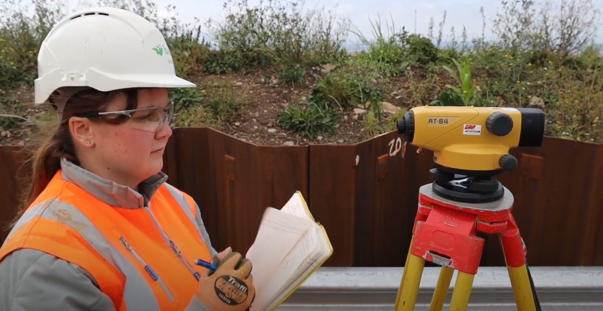
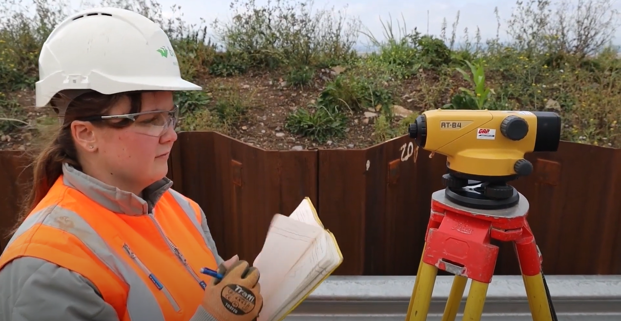
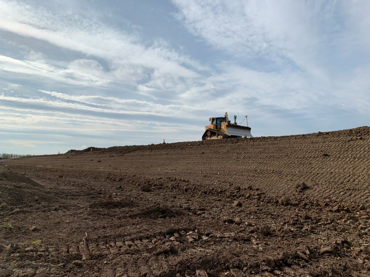
For the ASEA project, the project team constructed a trial embankment approximately 200m in length in summer 2020 to understand and obtain actual rates of settlement. The trial embankment contained instruments such as vibrating wire piezometers, settlement plates, magnet extensometers and surface settlement monitoring points to measure the response of the underlying ground to embankment loading.
Monitoring of the instruments was undertaken during construction and for 12 months afterwards.
To begin with, the BMM JV team conducted a review of the existing ground investigation information, followed by an investigation along the alignment of the proposed flood defence to determine the conditions of the ground where existing information was sparse.
The team then developed a conceptual model using Leapfrog Works geological modelling software. Analysis of insitu and laboratory test data established characteristic geotechnical parameters.
The trial embankment results indicated that the settlement was greater, and the rate quicker than anticipated from laboratory data, allowing the embankment construction level to be optimised.
These conclusions were a significant benefit to the project as most of the settlement occurs before one year after takeover, which allowed a review of the embankment construction level to be undertaken. Optimisation of the embankment construction levels and increased confidence in the geotechnical parameters resulted in less imported fill and a significant cost and carbon savings. The team calculated a saving of 5000m3 reduction in imported embankment fill which is equivalent to 100,000kg of equivalent CO2.
“The results of the trial allowed the settlement parameters to be refined and increased confidence in the settlement estimations, resulting in carbon and cost savings,” explained Gareth, “The risk of additional remedial works following demobilisation was also significantly reduced.”
By enabling development within ASEA, the project is expected to boost the regional and national economy with 12,000 new jobs by 2026.
As well as providing flood defence, the ASEA project will also create a minimum of 80ha of new wetland habitats at Northwick in South Gloucestershire and Hallen in Bristol, the equivalent of 112 football pitches, to support Severn Estuary’s bird species, and improve walking routes.
Project funding comes from the West of England Local Enterprise Partnership, administered by the West of England Combined Authority, the Government’s Flood Defence Grant in Aid, and local levy raised by the Wessex Regional Flood and Coastal Committee.


